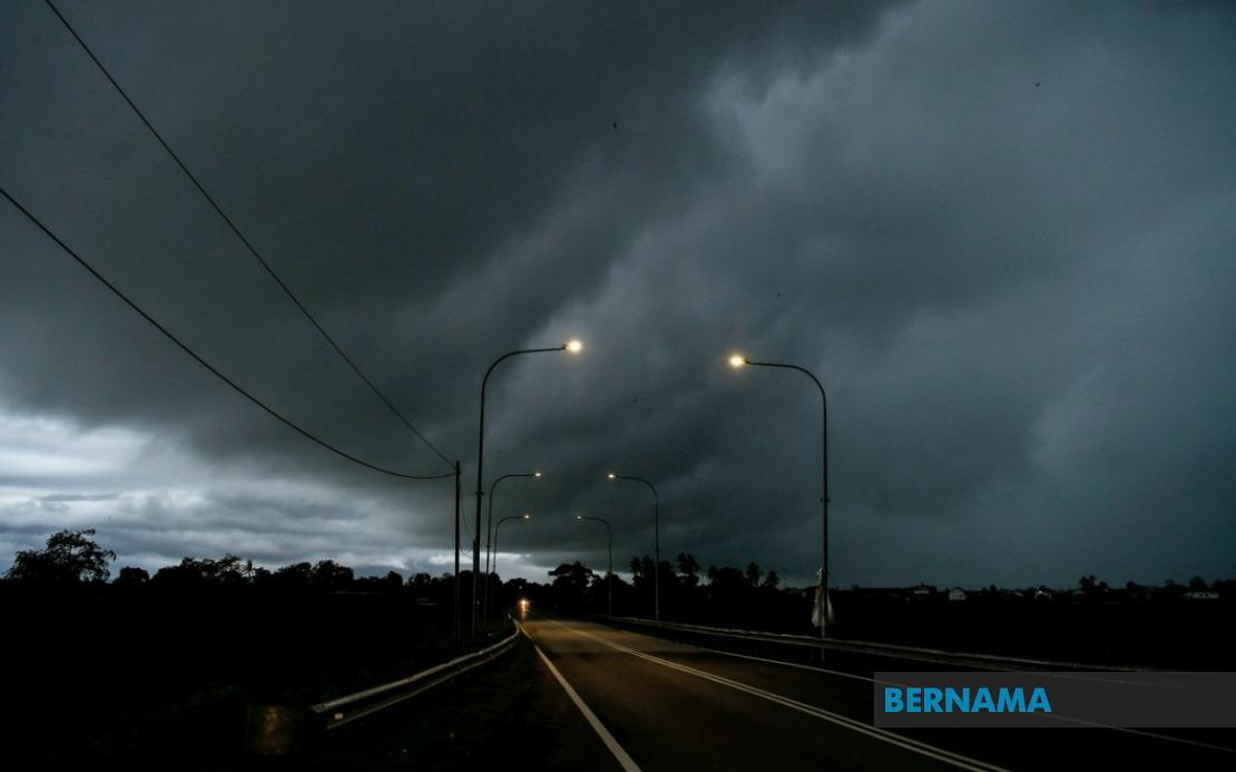
Residents across Kedah, Perak, Negeri Sembilan, Melaka and Johor face a day of challenging weather conditions, with the Malaysian Meteorological Department issuing formal alerts for thunderstorms, heavy rainfall and strong winds that are forecast to continue through the midday hours. The national weather service released its advisory early on July 11, flagging multiple districts across the peninsula as areas of concern for the severe atmospheric activity expected throughout the morning.
Within Kedah, the affected localities comprise Kota Setar, Pokok Sena, Yan and Pendang—four key districts spanning the state's urban centres and surrounding communities. The warning reflects genuine meteorological risk in these areas, where the convergence of atmospheric conditions could produce sudden downpours and potentially damaging wind gusts. Similar vulnerability exists across three districts in neighbouring Perak: Manjung on the western coast, Bagan Datuk in the central region, and Hilir Perak further inland, each facing comparable hazards from the approaching system.
Negeri Sembilan residents in Rembau and Tampin have been placed on alert, representing two important population centres in the state's geography. Meanwhile, the entire state of Melaka falls within the warning zone, suggesting broad exposure to the weather system across the state's compact but densely populated territory. Johor faces perhaps the most extensive threat, with six districts flagged for concern: Tangkak, Muar, Batu Pahat, Pontian, Kulai and Johor Bahru. This distribution indicates the weather system's reach across diverse southern regions, from coastal areas like Pontian and Muar to the inland districts and the major urban concentration in Johor Bahru.
The combination of thunderstorms, heavy rain and strong winds presents a compound hazard for residents and businesses in these zones. Thunderstorms themselves can develop with little warning, bringing sudden gusts that may cause structural damage, uproot trees and create dangerous debris. The accompanying heavy rainfall carries distinct risks including flash flooding in low-lying areas, water ingress into homes and businesses, and potential disruption to transportation networks. When these elements converge within a single weather event, the potential for property damage and personal injury rises markedly, making public awareness and preparedness essential.
For Malaysia's equatorial and monsoon-influenced climate, such alerts form a routine yet vital component of the weather management system. The timing through midday suggests the system may be transitioning or weakening by afternoon hours, offering affected residents a potential window for returning to normal activities as the day progresses. Nonetheless, the duration extending to noon represents several hours of potential hazard exposure during peak commercial and transportation hours, when urban areas are typically busiest and infrastructure is under greatest strain.
MetMalaysia has encouraged members of the public residing in flagged areas to maintain heightened vigilance and to consult official weather bulletins regularly as the situation develops. The department's forecasting capability allows for these advance warnings, giving households and businesses crucial preparation time. Residents are typically advised to secure loose outdoor items, avoid unnecessary travel through affected regions, remain indoors during the most intense periods of activity, and monitor local news sources for evolving guidance.
The geographical spread of the warning across five states underscores the scale of the weather system affecting Peninsular Malaysia. From the northwestern corner of Kedah through the central regions of Perak and Negeri Sembilan, down the western coastal strip through Melaka and across the southern expanse of Johor, the affected territory encompasses millions of residents and represents significant economic activity across multiple sectors. Any disruption to transportation, commerce or utilities in these areas carries implications for supply chains and service delivery across the region.
Public infrastructure agencies typically increase readiness during such periods, positioning maintenance crews to respond rapidly to fallen trees, clearing drains to facilitate water runoff, and alerting emergency services for potential incident response. Local authorities in affected districts similarly mobilise contingency measures, aware that the convergence of heavy rain and strong winds can overwhelm drainage systems and create hazardous situations in vulnerable communities.
The provision of these warnings reflects Malaysia's substantial investment in meteorological infrastructure and forecasting expertise, capabilities that have developed substantially over recent decades. Residents with access to MetMalaysia's official channels—including its website, mobile application and social media presence—can obtain real-time updates and increasingly precise forecasts as weather systems approach and evolve. This accessibility to authoritative information represents a significant advantage for public preparedness compared to earlier eras when weather warnings reached populations through more limited channels.

