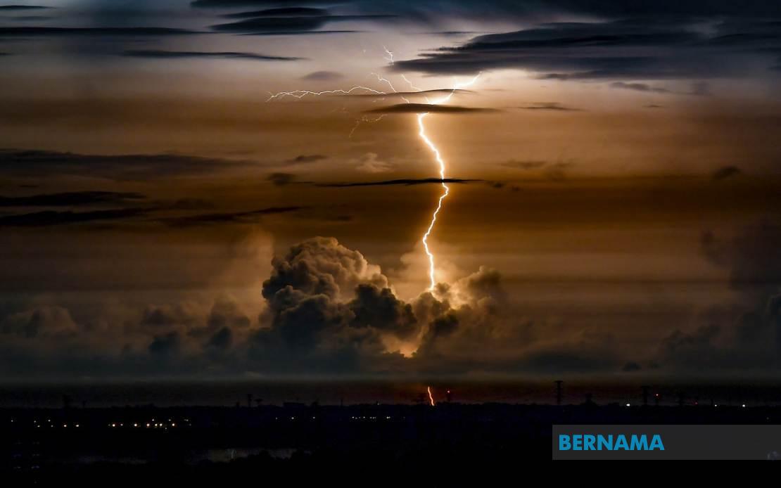
Residents across northern and eastern Malaysia faced a volatile weather night as the Malaysian Meteorological Department (MetMalaysia) activated a comprehensive alert system covering Perlis, Kedah, Sarawak and Sabah. The warning, issued at 8.30 pm, conveyed forecasts of significant thunderstorm activity accompanied by heavy precipitation and dangerous wind gusts expected to continue into the early hours of the following day.
The entire state of Perlis fell within the impact zone, making it one of the most extensively affected regions under the alert. In Kedah, the meteorological agency identified three specific districts requiring heightened caution: Langkawi, Kubang Pasu and Kota Setar. These areas, spanning from the northern tourist island to the central urban zones and rural districts, represented a cross-section of population centres that would require coordinated emergency response preparation.
East Malaysia bore an equally significant weather burden under the advisory. Sarawak's exposure encompassed four distinct geographical clusters: the coastal Mukah division including Dalat, Matu and Mukah proper; the interior Kapit region extending to Bukit Mabong and Belaga; the northern Miri division incorporating the highland settlement of Bario and the Marudi area; and the border zone of Limbang. This territorial spread indicated that the severe weather system possessed considerable geographical reach across the state.
Sabah similarly faced a dispersed threat profile across its diverse topography. The Interior division, encompassing Sipitang and Tenom, represented the state's southwestern reaches and agricultural heartland vulnerable to water accumulation and flash flooding risks. Simultaneously, the Sandakan division on the eastern coast, including Sandakan town and the Labuk & Sugut district, faced potential storm surge complications and wind-driven hazards typical of coastal exposure during thunderstorm activity.
The timing of the alert—issued during evening hours with effects persisting until midnight—suggested that the meteorological department had detected atmospheric signatures of a rapidly intensifying system. Such precision in issuance timing indicates that forecast models had converged on the likelihood of peak storm intensity during the nighttime hours when visibility diminished and emergency response complexity increased significantly.
Thunderstorms across this geographical spectrum carry distinct regional implications. In Perlis and Kedah's populated zones, including the substantial urban agglomeration of Kota Setar, the primary concerns centre on urban drainage capacity, potential waterlogging of commercial districts, and disruption to evening commute patterns. The inclusion of Langkawi, a major tourist destination, suggests that resort infrastructure and visitor safety represented considerations in the warning's issuance.
For Sarawak's interior divisions, especially the less densely populated Kapit and Miri regions, the hazards shifted toward riverine flooding potential given the state's extensive riverine settlement patterns and limited alternative drainage infrastructure. Communities situated along tributaries faced heightened risk of sudden water level rises during concentrated rainfall periods. The inclusion of Limbang underscored concern about border-area weather systems that might have transnational atmospheric characteristics.
Sabah's dichotomous warning across both interior and coastal zones reflected the state's complex meteorological exposure. Interior areas like Sipitang and Tenom, positioned along the spine of northern Borneo, experience orographic rainfall enhancement where storms interact with highland terrain, intensifying precipitation locally. Coastal Sandakan, conversely, faced hazards from wind-driven precipitation and potential tidal interactions with heavy rainfall, creating compound flooding scenarios in low-lying areas.
For ordinary Malaysians, such alerts represent critical operational information affecting transportation choices, outdoor activity plans, and basic safety precautions. The midnight deadline provided a defined temporal window within which the most intense conditions were expected, allowing citizens and authorities to calibrate response measures accordingly. The coordination of such warnings across four disparate states, spanning peninsula and island territories, demonstrated the integrated operational capabilities that modern meteorological services maintain across the entire nation.
The underlying atmospheric dynamics driving such a geographically expansive warning system typically involve either a monsoon surge event or the influence of a localized low-pressure cell generating thunderstorm clusters across multiple regions simultaneously. The specificity of the warning—identifying particular districts rather than issuing blanket state-level alerts—reflected sophisticated modelling that allowed meteorologists to distinguish areas of highest risk from peripheral zones.
Emergency management agencies at both state and federal levels would have activated standard severe weather protocols upon receipt of such warnings. These encompass pre-positioning of rescue equipment, alerting flood mitigation teams, notifying coastal authorities of potential hazards, and preparing rapid-response personnel for likely incidents including vehicle breakdowns, minor flooding, and weather-related accidents during the alert period.

