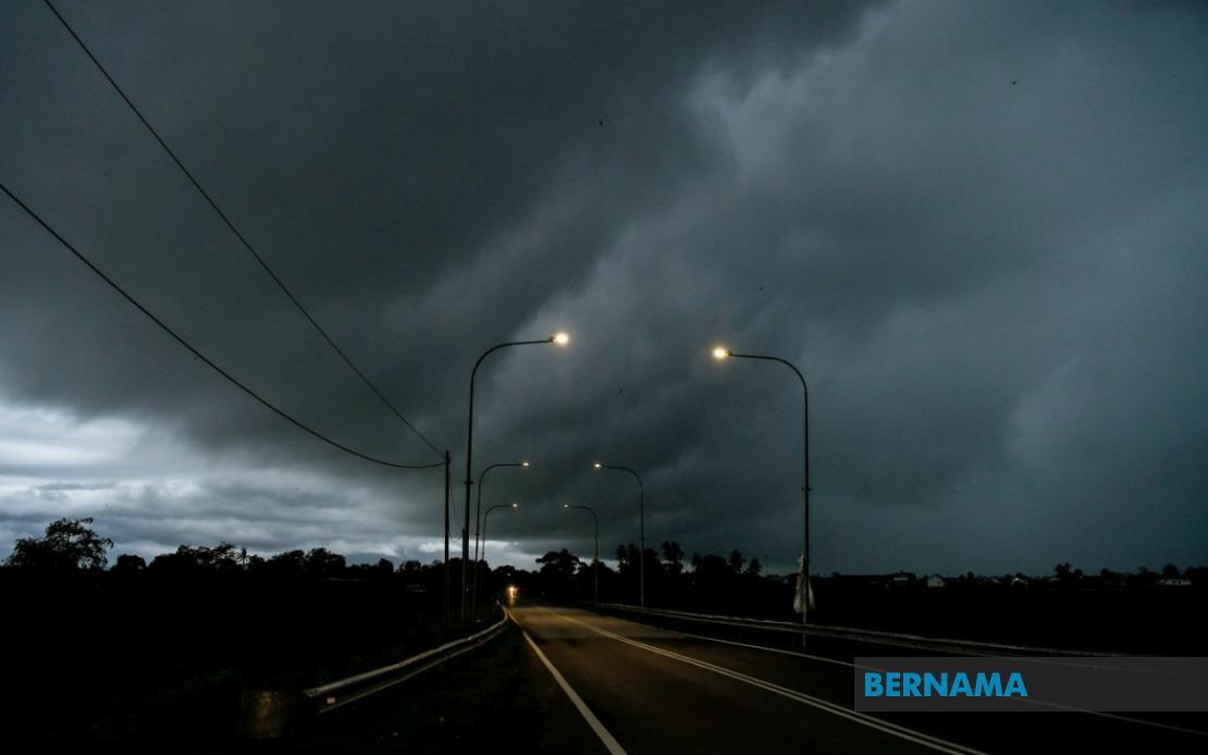
Malaysia's meteorological forecasters have issued a weather alert covering a vast swathe of the country as atmospheric conditions favour the development of thunderstorms and intense rainfall across multiple regions. The Malaysian Meteorological Department (MetMalaysia) cautioned residents that the adverse weather pattern is expected to persist until midday, affecting communities from Kedah in the north down through Peninsular Malaysia's eastern and southern coasts, while also extending into East Malaysia's Sarawak and the Federal Territory of Labuan.
In the northern state of Kedah, four distinct areas lie in the path of the warning zone. MetMalaysia identified Kuala Muda, Baling, Kulim and Bandar Baharu as localities likely to experience heavy downpours accompanied by thunder and lightning, with dangerous wind gusts adding to the severe weather cocktail. The entire state of Penang, which encompasses both the island and mainland portions of the state, has similarly been included in the warning coverage, suggesting that the unsettled weather system is broad-based and affects the entire region rather than isolated pockets.
Moving southward along the western coast, Perak faces exposure across six vulnerable zones. The districts of Kerian, Larut, Matang and Selama represent the state's northern exposure, whilst Manjung and Bagan Datuk in the central and southern portions of Perak complete the warning footprint for this state. Pahang's east coast district of Rompin also falls within the alert area, placing it on notice for sudden weather deterioration. This clustering of affected areas along the western side of Peninsular Malaysia suggests that a weather system is tracking through the Strait of Malacca or the South China Sea region, drawing moisture and instability inland.
The warnings extend deep into Malaysia's industrial and population heartland. Negeri Sembilan's districts of Jempol and Tampin, both situated in the state's central plateau region, are flagged for potential thunderstorms. The entire state of Melaka, despite its relatively compact size, faces comprehensive coverage under the alert. In Johor, the country's southernmost mainland state, MetMalaysia has marked six separate districts as concerning: Tangkak, Segamat, Muar, Kulai, Kota Tinggi and Johor Bahru. This widespread designation across Johor indicates that the weather system is expected to impact the state broadly, from its western interior through to its eastern seaboard and the major population centre of Johor Bahru.
East Malaysia is not spared from the meteorological disruption. In Sarawak, two divisions bear the brunt of the warning. The Bintulu Division's districts of Tatau and Bintulu itself have been marked as areas of concern, while the Miri Division's settlements of Subis, Miri and Marudi face similar prospects. The Federal Territory of Labuan, situated off Sabah's northwestern coast and serving as an important financial centre, has also been flagged to expect the full suite of severe weather phenomena: thunderstorms, heavy rain and violent wind gusts.
The meteorological hazards identified in the alert warrant careful attention from residents and travellers alike. Thunderstorms bring not only the immediate danger of lightning strikes but also represent a manifestation of powerful updrafts and downdrafts that can create treacherous conditions for aviation and maritime activities. Heavy rain carries the risk of flash flooding, particularly in low-lying areas, urban drainage systems, and poorly drained localities. Strong winds can topple unsecured structures, damage power lines and vegetation, and create hazards for vehicles navigating exposed highways or coastal routes.
MetMalaysia's advisory comes at a time when Malaysia's broader weather pattern is influenced by seasonal factors and oceanic conditions. The monsoon transition periods typically bring such widespread convective activity, as competing wind patterns and moisture convergence zones create environments conducive to thunderstorm development. Given that the alert is time-limited to the noon period, it suggests that meteorological models indicate the destabilising atmospheric features will weaken or move away by early afternoon.
The department has encouraged members of the public to maintain heightened awareness of weather developments and to consult official MetMalaysia channels for the latest forecasts and warnings. This guidance carries particular weight for those engaged in outdoor activities, construction operations, water-based recreation, or long-distance driving during the morning hours. Residents in areas prone to flooding or landslides in the affected zones should take precautionary measures, whilst boaters and offshore workers should exercise enhanced caution.
For Malaysian businesses and infrastructure operators, such widespread weather alerts necessitate contingency planning. Power utilities may need to prepare for potential disruptions to supply, while transportation authorities must ready response teams for road accidents or flooding incidents. The alert's geographic breadth—encompassing more than a dozen districts across multiple states plus East Malaysia—underscores the scale of the meteorological event and the importance of coordinated public awareness and emergency preparedness across the country.

