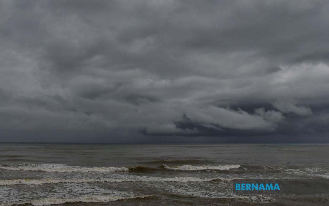
The Malaysian Meteorological Department (MetMalaysia) has cautioned residents and commuters across multiple regions to prepare for severe weather conditions expected to develop throughout today. A formal warning issued by the national weather authority indicates that thunderstorms accompanied by heavy precipitation and potentially dangerous wind gusts will affect a broad swathe of the country, with the most significant impacts anticipated before the evening transition. Authorities advise the public to remain vigilant and take appropriate precautions as atmospheric conditions are expected to remain unstable through the end of business hours.
In Peninsular Malaysia, the western coast and central regions face particular vulnerability to these weather systems. The states of Perlis and Kedah are among the most severely threatened areas, with specific attention drawn to the northern Kedah districts of Langkawi, Kubang Pasu, Padang Terap, Sik, Baling, Kulim and Bandar Baharu. Perak's exposure encompasses several vulnerable zones including the Kerian, Larut, Matang and Selama districts, alongside the lower Perak regions and Batang Padang. The geographic spread indicates a system of considerable spatial extent, suggesting weather frontal activity rather than isolated thunderstorm cells.
Major population centres in the Klang Valley metropolitan region are also in the forecast impact zone. Kuala Lumpur, the nation's capital and economic hub, faces potential disruptions to daily activities during the afternoon and early evening hours. Selangor state encompasses multiple threatened areas spanning from the coastal district of Sabak Bernam through Kuala Selangor and the upland Hulu Selangor region, extending through the heavily urbanised zones of Klang, Gombak and Petaling. Such widespread coverage of the greater Kuala Lumpur area raises the possibility of significant urban flooding in low-lying neighbourhoods and potential transport disruptions across the regional infrastructure network.
The southern Peninsular region is not exempt from these meteorological hazards. In Johor, the warning encompasses Kulai and Johor Bahru, the state's administrative and commercial centre respectively. This coverage suggests that the weather system possesses sufficient intensity and extent to affect areas across the entire length of Peninsular Malaysia, from the Thai border in the north to the Singapore border in the south.
Eastern Malaysian territories face comparable atmospheric threats. Sabah's exposure extends across the Interior division and the densely populated West Coast corridor, which includes strategically important centres such as Kota Kinabalu, the state capital, alongside the smaller municipalities of Papar, Putatan, Penampang, Tuaran and Ranau. Additionally, the Sandakan region on the east coast faces potential impacts, specifically in the divisions of Tongod, Telupid and Beluran. The geographical distribution indicates that Sabah's mountainous interior and its populated coastal plains are equally vulnerable to the approaching system.
In Sarawak, the threatened regions comprise Kapit division in the interior—encompassing Kapit, Bukit Mabong and Belaga—along with the coastal areas of Miri and Limbang in the north. These zones represent a mixture of remote inland areas and growing urban and industrial centres. Labuan, the federal territory comprising a small island group in the South China Sea, is similarly placed under the weather alert. The breadth of coverage across both East Malaysian states suggests a significant atmospheric disturbance capable of generating dangerous local weather over a three-day tropical region characterised by high humidity and warm sea surface temperatures.
The timing of this weather event carries particular significance for both commercial operations and public safety. The afternoon and evening window specified by MetMalaysia encompasses peak commuting hours in urban areas, potentially creating hazardous road conditions precisely when traffic volumes peak. Heavy rainfall combined with strong winds can reduce visibility dramatically and destabilise vehicles, whilst thunderstorm activity poses risks of lightning strikes to exposed individuals and structures. Public transportation systems, including bus networks and rail services, may experience delays or suspensions in response to deteriorating conditions.
For Malaysia's economy, weather disruptions of this magnitude warrant careful monitoring given their potential cascading effects. The Port Klang authority and other maritime installations may impose restrictions on operations during peak wind conditions. Construction sites across the country typically implement weather protocols requiring work suspension during thunderstorm activity, potentially impacting project schedules. Industrial zones such as those surrounding Kuala Lumpur and other state capitals may experience temporary production pauses as companies prioritise worker safety.
The agricultural sector, particularly in states such as Perak and Johor where commercial cultivation remains significant, may suffer mixed consequences. Whilst heavy rainfall benefits irrigation-dependent crops, the violence of thunderstorms can damage standing crops and create soil waterlogging conditions that disadvantage certain farming activities. Livestock operations face stress during such weather events and require operator attention to ensure animal welfare.
MetMalaysia's specific demarcation of affected districts rather than blanket state-level warnings indicates a refined meteorological analysis reflecting local topographic influences on weather patterns. The precision of such forecasting enables residents and authorities in specific areas to implement proportionate response measures. Communities in the identified zones should secure loose outdoor objects, avoid unnecessary travel and remain informed through official channels and weather updates throughout the specified warning period.

