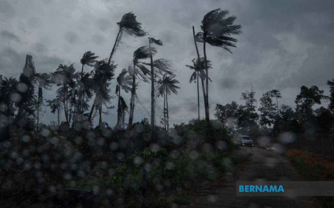
Malaysia's weather agency issued a significant weather alert on August 19, warning residents across nine states to prepare for severe atmospheric conditions including thunderstorms, torrential downpours, and powerful wind gusts persisting through the evening hours. The Malaysian Meteorological Department released its advisory at 2.40 pm, giving the public roughly two and a half hours notice to secure outdoor items and adjust plans accordingly.
The northern peninsular region faces substantial weather disruption, with Kedah experiencing impacts across six districts: Baling, Sik, Kulim, Kuala Muda, Pendang, and Yan. Neighbouring Penang's risk zones encompass Seberang Perai Utara and Seberang Perai Tengah, potentially affecting the transport corridor connecting the island to the mainland. This concentration of alerts in the north suggests a weather system moving through the region with particular intensity in these areas.
Perak, another northern state, carries warnings for an expansive list of affected locations spanning from the tin-mining heritage district of Kinta to the riverside communities of Hilir Perak. The seven implicated districts—Mualim, Kinta, Kampar, Batang Padang, Perak Tengah, Hilir Perak, and Kuala Kangsar—cover a broad geographical sweep of the state, indicating the severity and breadth of the weather system moving through the region.
On the east coast, Terengganu faces exposure across four major administrative divisions, including the state capital Kuala Terengganu and the seaside town of Marang. Meanwhile, Pahang's warnings cover an even more extensive territory, encompassing eight districts that range from the highland tourism destination of Cameron Highlands to the riverine communities along the Rompin and Maran areas. This widespread coverage suggests potential disruption to both tourism activities and routine economic operations across the east coast corridor.
The central Peninsular region is equally affected, with Negeri Sembilan's five at-risk areas including the state capital Seremban. Johor faces a more limited impact concentrated in Segamat, suggesting the weather system maintains variable intensity as it progresses southward through the peninsula. This geographical pattern illustrates how the thunderstorm system creates a patchy but significant impact across multiple population centres and transport routes.
East Malaysia experiences comparable weather challenges, with Sarawak's alert encompassing diverse regions from the northern coastal town of Miri to the central Sibu division and extending to the southern Bintulu district. The warning covers Marudi, Limbang, Mukah, Sibu, Selangau, Maradong, Sarikei, and both Bintulu and Tatau. Such widespread coverage across Sarawak indicates the thunderstorm system is not confined to peninsular geography but extends across the broader Malaysian territory.
Sabah's warnings concentrate on three geographical zones, namely the Interior Division spanning multiple highland districts including Keningau, Tambunan, Membakut, Tenom, Sipitang, and Beaufort, alongside the West Coast division and the northern Kudat district including Kota Marudu. These regions encompass both agricultural hinterlands and coastal communities, suggesting varied impacts from the incoming weather system.
MetMalaysia's decision to issue coordinated warnings across such an expansive geographic area underscores the significant nature of the meteorological event. The 2.40 pm issuance timing reflects the agency's assessment that conditions would deteriorate rapidly, leaving residents limited preparation windows. The five-hour duration window until the warning's scheduled expiry suggests forecast confidence in the system's timing and movement patterns.
For Malaysian readers and residents in these nine states, the practical implications are substantial. Commuters should anticipate potential delays and hazardous road conditions, particularly on major routes connecting affected districts. Agricultural operations and outdoor construction activities face inevitable disruption during the warning period. Recreational activities, water sports, and outdoor events scheduled for the afternoon should be reconsidered or relocated indoors.
The simultaneous impact across Peninsular Malaysia, Sabah, and Sarawak indicates a tropical weather system of considerable scale, typical of the region's monsoon transition periods or localised convergence zones. Such warnings have become increasingly common as climate patterns shift, affecting rainfall intensity and storm frequency across Southeast Asia. Malaysian residents have become accustomed to such alerts, yet each issuance warrants serious attention given the associated hazards of lightning strikes, flash flooding, and debris-laden wind gusts.
MetMalaysia's advisory system provides crucial early warning capability for public safety planning. Residents in the affected zones are advised to remain indoors during peak storm hours, avoid flooded areas, and exercise caution with electrical appliances during thunderstorm activity. Emergency response agencies across the nine states likely mobilise resources in anticipation of potential incident calls related to fallen trees, water accumulation, and weather-related accidents.

