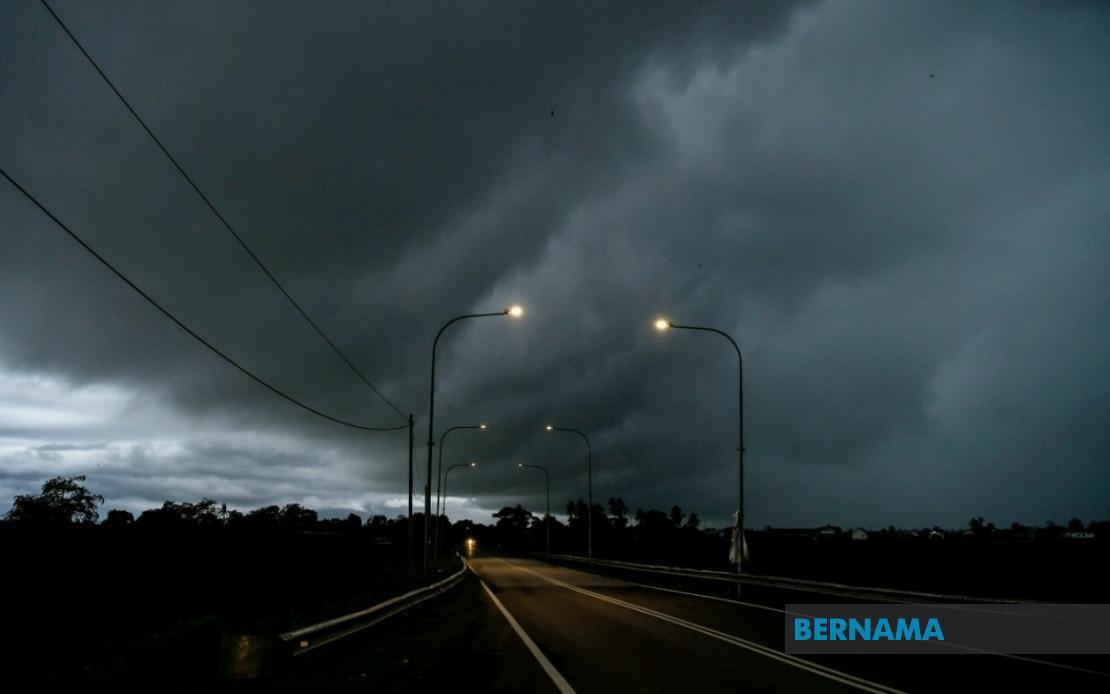
The Malaysian Meteorological Department has activated a widespread weather alert, cautioning residents across multiple states to brace for severe thunderstorms, intense rainfall and forceful winds persisting until 9 pm today. The advisory underscores the need for heightened vigilance as the peninsula and East Malaysia brace for challenging atmospheric conditions that could disrupt travel, commerce and outdoor activities during the critical evening hours.
In Peninsular Malaysia, the warning blankets a substantial portion of the northern and eastern regions, with particular concern centred on Perak's Larut, Matang and Selama districts alongside Kuala Kangsar and Kinta. The eastern seaboard faces similar threats, encompassing Kelantan's Jeli, Kuala Krai and Gua Musang zones, the Terengganu district of Kemaman, and Pahang's Lipis and Jerantut areas. The southern zone is not spared, as Johor's Kulai, Kota Tinggi and Johor Bahru districts have been flagged as vulnerable to the impending tempestuous weather systems.
Beyond Peninsular Malaysia, Sarawak experiences an equally expansive coverage of the weather warning. The alert encompasses Kuching and Samarahan, where the largest population concentrations reside, potentially affecting significant portions of the state's urban and suburban populations. The warning extends inland to Kanowit in the Sibu division, reflecting the system's broad geographical reach. Coastal and interior regions of Bintulu division—specifically Tatau and Sebauh—face similar forecasted conditions, while Lawas in Limbang on the state's northern frontier also falls within the warning zone.
Sabah's exposure to the adverse weather system concentrates on the interior and eastern divisions. Sipitang in the Interior division represents the state's westernmost area of concern, whilst the eastern corridor sees multiple districts placed on alert. Telupid, Kinabatangan, Beluran and Sandakan in the Sandakan division all face forecasted thunderstorms accompanied by heavy precipitation and gusty winds, potentially impacting transportation networks and economic activity in these relatively developed regional centres.
The confluence of these warnings across three major Malaysian regions demonstrates the scale and intensity of the atmospheric disturbance sweeping across the nation. Such comprehensive alerts typically indicate an organised weather system or convergence of meteorological conditions capable of producing significant impacts. The simultaneous nature of warnings across geographically dispersed areas suggests coordinated atmospheric phenomena rather than isolated local weather events.
Thunderstorms of this magnitude pose particular hazards for Malaysian communities accustomed to tropical climate variations. Flash flooding remains a primary concern, particularly in low-lying urban areas, riverside settlements and drainage-challenged zones. Strong gusty winds accompanying the thunderstorms can topple weakened structures, damage power infrastructure and render transportation hazardous. Heavy rainfall intensity may exceed local drainage capacity, creating temporary inundation in vulnerable districts.
The evening timeline until 9 pm implies that the most severe conditions will occur during twilight and early night hours, complicating visibility for commuters and emergency response personnel. This temporal window aligns with peak evening traffic periods in major urban centres, potentially creating bottlenecks and accident hazards on Malaysian highways and urban roads. Commercial activities dependent on evening operations may face disruption, whilst public services may experience increased demand for emergency assistance.
Residents across the warned districts are typically advised to remain indoors when possible, secure loose outdoor items, avoid standing water and flooded roads, and monitor official weather updates through MetMalaysia channels and local media outlets. Drivers are cautioned against venturing into flood-prone areas or attempting to cross swollen waterways. Power consumers should be mindful of potential outages resulting from wind damage to electrical infrastructure, particularly in exposed or poorly maintained utility networks common in rural areas.
The breadth of this advisory reflects contemporary meteorological monitoring capabilities that enable the department to identify developing weather systems with sufficient lead time to issue public warnings. Such proactive communication represents crucial infrastructure for public safety, allowing citizens and authorities to implement protective measures before conditions deteriorate. In a nation where annual monsoon patterns and tropical convective activity regularly produce severe weather, maintaining vigilance during these forecasted periods remains essential for injury and property loss prevention.
Businesses, government agencies and critical service providers across the affected regions may need to implement contingency protocols, including extended operating hours before evening deterioration, rerouting of activities, or temporary suspension of vulnerable operations. Agricultural activities, construction sites and outdoor events scheduled during this period face inevitable disruption. Power distribution companies may pre-position maintenance crews in anticipation of storm-related failures.

