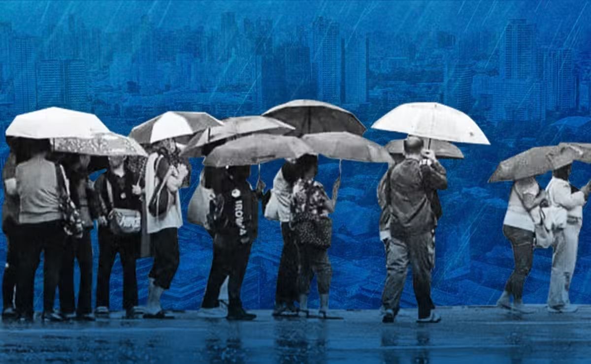
The deluge that swept across Metro Manila between early and mid-August has reignited concerns about the capital region's capacity to manage extreme weather events, with new analysis suggesting that the sheer accumulation of rainfall over a compressed timeframe exposes systemic vulnerabilities in both infrastructure and institutional oversight. Dr Alicor Panao, an associate professor at the University of the Philippines and data scientist, analysed rainfall measurements from 23 monitoring stations operated by the Philippine Atmospheric, Geophysical and Astronomical Services Administration (Pagasa) during the 10-day period from August 5 to 14, when the southwest monsoon known locally as Habagat converged with successive tropical cyclones to drench Luzon. His findings reveal an average cumulative rainfall of 483.4 millimeters across the metro area, translating to approximately 48.3 millimeters of daily accumulation—though distribution was highly uneven across different measurement points.
The intensity of the rainfall becomes more striking when examining the temporal concentration of precipitation. Nearly half of the total rain recorded during the period fell within a compressed 48-hour window on August 9 and 10, with Pagasa's Airport station registering 226.5 millimeters on a single day. This extraordinary precipitation volume underscores how rapid-onset weather systems can overwhelm drainage infrastructure designed for more gradual water management. For context, the August 9 measurement alone represents a significant proportion of typical monthly rainfall during the dry season, compressed into a single day. While this figure remains below Metro Manila's recorded extreme, the broader pattern reveals a distinct challenge: the duration and cumulative nature of the event, rather than isolated peak intensity, may pose the greater operational burden to urban water systems.
Historical comparison provides perspective on the current event's significance. Tropical Storm Ondoy in 2009 set Metro Manila's single-day rainfall record of 455 millimeters at Pagasa's Science Garden station, surpassing a previous benchmark of 334 millimeters from June 1967. The August 2024 rainfall episode, while not exceeding Ondoy's daily maximum, accumulated to 483.4 millimeters over the full ten-day span—demonstrating that sustained heavy precipitation can pose challenges distinct from isolated extreme events. Understanding these patterns is crucial for Southeast Asian cities similarly exposed to monsoon systems and tropical cyclones, as design standards often prioritize single-event management rather than successive weather episodes.
To illustrate the scale of accumulated water, Panao employed volumetric calculations that render abstract millimeter measurements tangible for policy makers and public understanding. The 483.4 millimeters of rain distributed across one square kilometer would amount to approximately 483.4 million liters of water—roughly equivalent to 193 Olympic-size swimming pools per square kilometer. Applying this calculation across Metro Manila's total area of approximately 620 square kilometers yields a staggering aggregate figure: some 120,000 Olympic-sized swimming pools worth of water falling during the 10-day period. These metrics underscore why drainage systems, rivers, and natural catchments become overwhelmed and why conventional infrastructure frequently proves insufficient during such extended precipitation events.
Variation in rainfall distribution across monitoring stations provides additional insight into localized vulnerability. Sitio Wawa recorded the highest cumulative total at 708.0 millimeters, equivalent to 708 liters per square meter, while San Mateo-2 measured 701.0 millimeters and La Mesa Dam registered 645.5 millimeters over the same period. This geographic variability indicates that certain areas within the metro region face disproportionate flood risk, suggesting that blanket infrastructure solutions may inadequately address localized flooding in high-impact zones. For Malaysian authorities managing similar monsoon patterns, such granular data collection and analysis should inform targeted investment rather than uniformly distributed resources.
Panao's central contention challenges the prevailing assumption that flood management is primarily an engineering problem solvable through structural expansion. He argues instead that successive heavy rainfall events provide minimal recovery time for drainage systems, rivers, and watersheds between precipitation episodes, fundamentally changing the operational calculus for infrastructure design. Traditional approaches focusing on capacity and spillway dimensions may prove inadequate when systems face near-continuous inflow over multiple days. This insight has direct relevance for Malaysia's flood management strategy, particularly in rapidly urbanizing regions like the Klang Valley and Selangor where cumulative rainfall from extended monsoon periods often exceeds single-event design standards.
Beyond technical hydraulic considerations, Panao emphasizes that effective flood protection requires proper design, construction, and maintenance of public infrastructure—a governance challenge that extends beyond engineers' expertise. His remarks carry pointed implications for Metro Manila's track record, where investigations have reportedly uncovered ghost projects, substandard construction, and inflated procurement costs within flood-control portfolios. Criminal cases presumed to be underway suggest systemic corruption diverting resources nominally allocated for flood mitigation. This governance dimension resonates across Southeast Asia, where development pressures often incentivize corner-cutting in infrastructure delivery. Malaysian stakeholders should recognize that flooding during the monsoon season frequently reflects not insufficient budgets but rather misallocation, poor execution, or deliberate diversion of allocated funds.
The implications for Southeast Asian urban planning extend beyond immediate flood response. Metro Manila's experience demonstrates that increasing rainfall intensity linked to climate variability demands simultaneous advancement in three dimensions: infrastructure design standards incorporating observed climate trends, robust construction oversight ensuring quality delivery of planned systems, and transparent governance mechanisms preventing resource leakage. Current climate science suggests that extreme precipitation events may become more frequent in tropical regions, making this integrated approach increasingly critical. Cities throughout the region should examine whether existing flood management frameworks address these evolving challenges or merely perpetuate assumptions based on historical hydrology.
Malaysia's particular vulnerability warrants specific attention, given the country's exposure to both the southwest monsoon and northeast monsoon systems, plus occasional tropical cyclones originating from the South China Sea. While Malaysia generally receives higher baseline rainfall than Metro Manila, concentrated bursts during monsoon transition periods can produce similar cumulative totals over brief timeframes. The failure of flood control infrastructure to prevent annual inundation in states like Selangor, Kelantan, and Terengganu suggests that governance and implementation gaps, rather than purely technical limitations, constitute the primary obstacle to improved outcomes. Panao's analysis provides a useful framework for Malaysian authorities to audit existing flood management programs, distinguishing between insufficient infrastructure investment and misaligned, inadequate, or corrupt project delivery.

