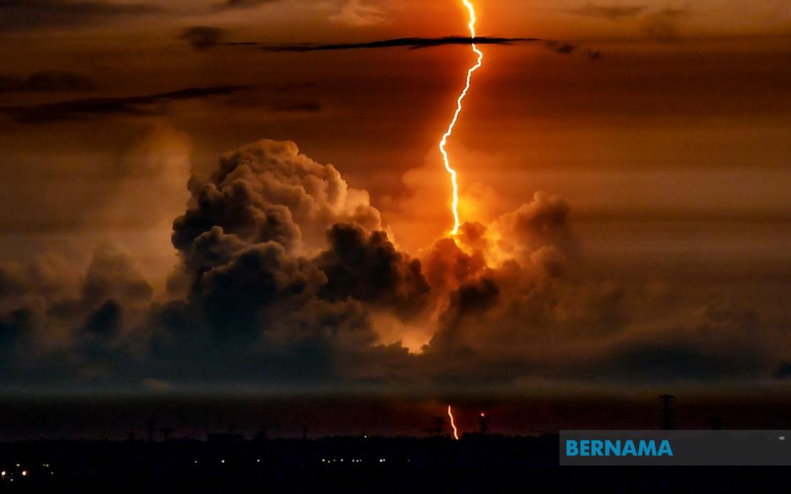
A significant weather system is sweeping across much of Malaysia this evening, prompting the Malaysian Meteorological Department to issue a formal warning covering multiple districts across the country. The alert, issued on July 20, cautions residents and commuters in affected areas to prepare for challenging conditions including thunderstorms, torrential rainfall and gusty winds that are expected to persist until 9 pm tonight.
In northern Peninsular Malaysia, residents of Kedah face potential flooding and travel disruptions in the Sik and Baling districts, where the combination of heavy downpours and electrical activity poses hazards to both urban and rural communities. The neighbouring state of Perak is similarly affected, with warnings extended to Hulu Perak and Batang Padang where mountainous terrain may exacerbate water runoff and increase the risk of landslides in vulnerable areas.
The east coast region faces particularly significant exposure given the geographic characteristics of the affected zones. Terengganu's warning encompasses the coastal districts of Setiu, Kuala Nerus and Marang alongside the inland municipalities of Hulu Terengganu and Kuala Terengganu, suggesting the system carries moisture-laden winds from both maritime and inland sources. Pahang, Malaysia's largest state, experiences widespread coverage with seven districts placed under alert: the elevated Cameron Highlands, the central region encompassing Lipis, Jerantut and Maran, plus the important municipal and port areas of Kuantan, Pekan and Rompin.
Southern Peninsular Malaysia is not spared from this weather event. Five districts across Johor—including the major urban centre of Johor Bahru, the southeastern resort destination of Mersing, and the manufacturing heartland of Kulai and Kota Tinggi—fall within the warning zone. Kluang, which serves as a transport hub, may experience disruptions to traffic and commerce during the storm's peak intensity.
The impact extends significantly into East Malaysia, where Sarawak's warning covers an exceptionally broad geographic area. Metropolitan Kuching and its surrounding districts of Serian and Samarahan lie in the danger zone, alongside the riverside communities of Sibu and Kapit, and the industrial zones of Sarikei, Mukah, Bintulu and Miri. The far northern divisions of Limbang add further geographic spread to the alert, indicating a weather system of considerable scale affecting the entire state.
Sabah faces comparable challenges across its diverse terrain. The Interior Division's mountainous districts of Sipitang and Tambunan are vulnerable to flash flooding and slope failures, while the West Coast Division's tourism-dependent areas of Tuaran and Ranau prepare for disruptions. The southeastern and eastern portions of the state, encompassing Tawau, Sandakan and Kudat divisions with their respective constituent districts, round out the comprehensive coverage across Malaysian Borneo.
The timing of this warning system carries particular significance for evening commuters and those engaged in outdoor activities across the affected regions. The concentrated window until 9 pm tonight suggests a well-defined weather system with a predictable trajectory and intensity curve, though sudden intensification remains possible. Residents and authorities in these areas would typically activate emergency response protocols, position rescue resources and monitor vulnerable communities such as those in flood-prone lowlands or unstable hillside settlements.
From a meteorological perspective, the simultaneous activation of warnings across such geographically dispersed zones—spanning from the northern peninsular highlands through the east coast corridor, down to the southern tip of Johor, and across both East Malaysian states—indicates a significant monsoon or inter-monsoon system rather than localized convective activity. Such broad-scale systems can produce cumulative rainfall exceeding normal evening precipitation by substantial margins, potentially overwhelming drainage infrastructure in urban areas and creating hazardous conditions on major transportation routes.
Commuters and residents should anticipate possible traffic congestion on major expressways, temporary disruptions to public transportation, and potential utility interruptions should lightning strike critical infrastructure. Schools and institutions in affected areas may need to adjust dismissal times, and outdoor events scheduled for this evening are at risk of cancellation or postponement. The warning exemplifies Malaysia's increasingly proactive approach to weather communication, with MetMalaysia providing district-level granularity that enables targeted preparedness responses rather than blanket advisories.
The geographical extent of this warning—encompassing approximately one-third of Malaysia's territory and affecting millions of residents—underscores the reality that severe weather events remain a regular feature of Malaysia's tropical and equatorial climate patterns. As climate patterns continue evolving, such multi-state weather systems require coordinated responses across state disaster management agencies, emergency services and municipal authorities to ensure public safety and minimize economic disruption during the critical evening hours.

