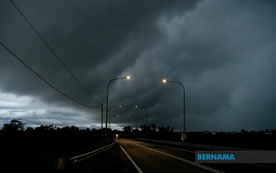
Malaysia's Meteorological Department has activated a nationwide weather alert system for at least 10 states, warning residents and commuters to brace for intense thunderstorms coupled with heavy rainfall and gusty winds expected to persist until 6 pm. The sprawling warning zone covers substantial portions of the peninsula as well as significant areas in Malaysian Borneo, reflecting the scale and intensity of the atmospheric disturbance sweeping across the country.
The northern peninsula bears the brunt of the alert, with all of Perlis placed under the warning together with six districts in Kedah: Padang Terap, Kuala Muda, Sik, Baling, Kulim, and Bandar Baharu. Perak faces the widest coverage among affected states, with nine different administrative regions flagged for severe weather, encompassing Kerian, Larut, Matang and Selama, Hulu Perak, Kuala Kangsar, Kinta, Kampar, Batang Padang, and Muallim. This widespread alert across Perak suggests a particularly active weather system establishing itself over the state's geography.
The east coast region of the peninsula experiences significant exposure to the thunderstorm threat. In Kelantan, seven districts warrant caution, including the major urban and transport corridor of Kota Bharu as well as smaller districts such as Pasir Mas, Jeli, Tanah Merah, Machang, Pasir Puteh, Kuala Krai, and Gua Musang. The entire state of Terengganu has been placed under warning, indicating meteorologists anticipate minimal safe zones across the state. Similarly, Pahang faces an extensive alert covering eight districts: Cameron Highlands, Lipis, Raub, Jerantut, Bentong, Kuantan, Pekan, and Rompin, which together encompass critical highland areas and major economic zones dependent on reliable transportation infrastructure.
The central region and southern peninsula carry more localized impacts. Only Hulu Selangor in Selangor has triggered the alert status, suggesting the weather system's southern boundary remains relatively contained. In contrast, Johor experiences a more distributed warning pattern, affecting seven areas including major population centres and transport nodes: Batu Pahat, Kluang, Mersing, Pontian, Kulai, Kota Tinggi, and Johor Bahru. The inclusion of Johor Bahru reflects the system's potential to disrupt Southeast Asia's busiest land border crossing and one of the peninsula's primary economic engines.
Across the South China Sea, the Malaysian states of Sabah and Sarawak face considerable exposure to the severe weather system. Sarawak's alert encompasses eight distinct zones across the state, ranging from the divisional capitals of Kuching and Sibu to peripheral areas such as Limbang in the north and Betong in the southwest. Within Sarawak, the divisions of Miri, Mukah, Bintulu, and Sarikei each report alert status, suggesting the weather disturbance stretches across both the northern and southern sectors of the state. In Sabah, the Interior division bears the heaviest warning load with five districts affected including Sipitang, Tenom, Kuala Penyu, Beaufort, and Tambunan, while the West Coast division, Sandakan's Beluran district, and Kudat in the north complete the state's exposure to the system.
Thunderstorms of this magnitude carry multiple hazards beyond the dramatic cloud-to-ground lightning displays that often accompany them. Heavy rainfall across the alert zones risks triggering flash flooding in low-lying areas, particularly in river valleys and areas with compromised drainage infrastructure. The strong wind component poses distinct dangers to transportation networks, construction sites, and utility installations, with the potential to disrupt electrical power distribution and communications infrastructure across multiple states simultaneously.
Commuters and travellers across affected regions face heightened risk during the warning period. Traffic conditions typically deteriorate rapidly when thunderstorms move through major highways and urban centres, reducing visibility and creating hazardous road surfaces. The timing of the warning extending through the early evening rush hour suggests potential disruptions to transportation networks during peak usage periods in major cities and along critical interstate corridors.
Businesses and government agencies within the alert zones may need to activate contingency protocols for the afternoon period. Construction activities often suspend operations when thunderstorm warnings become active due to electrical hazard concerns, potentially affecting project timelines across multiple development sites. Schools and educational institutions approaching the late afternoon may need to implement early dismissal procedures or extended supervision arrangements depending on local conditions and institutional protocols.
The geographic scope of this alert underscores the scale of atmospheric instability affecting Malaysia today. Weather systems capable of triggering simultaneous alerts across such diverse regions—from the northern peninsula through to remote interior districts of Sabah and Sarawak—represent significant meteorological events. The fact that such widespread conditions have been identified demonstrates the sophisticated monitoring and forecasting capabilities of Malaysia's weather service, enabling advance public notification and allowing communities to implement protective measures before conditions deteriorate.

