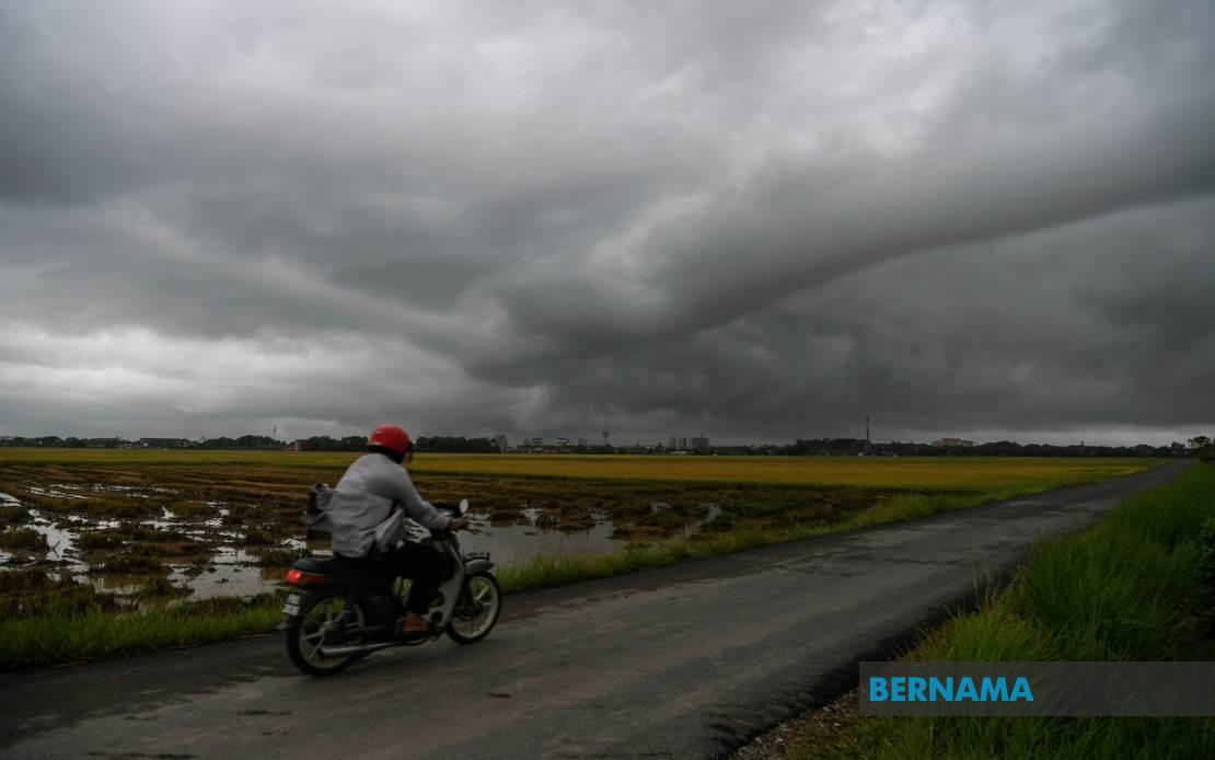
The Malaysian Meteorological Department has activated severe weather warnings spanning multiple regions across Peninsular Malaysia and East Malaysia, with thunderstorms, torrential rainfall, and gusty winds expected to persist until 6 pm today. The alert encompasses strategically dispersed areas from the northern reaches of Kedah down through the eastern corridor, spanning westward into Selangor, and extending into the interior territories of Sabah and Sarawak, reflecting a broad weather system affecting the nation's geography.
In the northern peninsula, the Kedah districts bearing the brunt of the anticipated weather include Kota Setar, Yan, Pendang, Kuala Muda, and Sik. These areas form part of the state's productive agricultural belt and urban centres, making them particularly vulnerable to disruptions from severe weather. Perak's exposure encompasses Manjung, a district with significant port and industrial activity, alongside Perak Tengah, which covers the state's central residential and commercial zones.
The eastern seaboard faces similar meteorological challenges, with Kemaman in Terengganu and Kuantan in Pahang both under alert status. These coastal and near-coastal districts typically experience heightened rainfall during monsoon transitions and atmospheric pressure fluctuations. Kuantan, as Pahang's primary gateway and commercial hub, carries particular significance given the concentration of infrastructure and economic activity in the district.
In Selangor, Hulu Langat district has been flagged for severe weather, a region that encompasses both urban sprawl and the Klang Valley's industrial periphery. The district's elevation and topography can amplify rainfall intensity, creating localised flooding risks in low-lying areas. Negeri Sembilan faces warnings for Jelebu and Seremban, covering both rural hinterland and the state's administrative centre, with potential implications for transportation corridors connecting the state to neighbouring regions.
Borneo territories feature prominently in the meteorological alert. In Sarawak, Sarikei district encompassing Sibu and the Mukah region including Tanjung Manis and Daro face severe weather threats. These areas, located in Sarawak's central and coastal zones respectively, depend heavily on river transport and maritime activity, making weather disruptions consequential for local commerce and connectivity. Sabah's affected zones span the Interior Division covering Keningau and Tambunan, the West Coast Division encompassing Papar and Penampang, and the Sandakan area including Kinabatangan, representing a substantial geographical expanse across multiple administrative zones.
The combination of thunderstorms, heavy precipitation, and strong winds poses multifaceted risks across these regions. Beyond the immediate hazards of lightning strikes and wind damage, the heavy rainfall threatens to overwhelm drainage systems in urbanised districts and create flash-flood conditions in areas with natural watercourses or constructed water management infrastructure. Agricultural zones face potential crop damage and waterlogging, while transportation networks may experience temporary disruptions through flooding or visibility challenges.
MetMalaysia's issuance of this consolidated warning reflects sophisticated meteorological modelling indicating a cohesive weather system or series of convective disturbances affecting these disparate territories. The specificity of district-level warnings allows local authorities, emergency services, and residents to implement targeted preparatory measures rather than responding to broader regional alerts. This granularity has become standard practice as forecasting capabilities improve and communication systems enable rapid dissemination of localised information.
The temporal constraint—with conditions expected to normalise after 6 pm—suggests the meteorological phenomena follows typical diurnal heating and atmospheric circulation patterns. The afternoon peak in thunderstorm activity aligns with maximum solar heating triggering convection, with the evening transition typically bringing stabilisation of atmospheric conditions. Residents and businesses in affected areas should expect the most severe conditions during mid-afternoon hours, allowing some planning for critical activities.
For Malaysian readers monitoring this situation, the alert underscores the importance of staying informed through official meteorological channels and heeding local authority guidance. Commuters should anticipate potential delays on major routes traversing these districts, while outdoor activities scheduled for the afternoon warrant postponement. Vulnerable populations, including those in flood-prone areas or with medical dependencies on stable conditions, should take appropriate precautions. The comprehensive nature of this warning across eight geographically diverse states reflects the scale of atmospheric disturbance affecting the nation today.