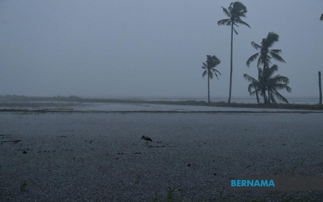
The Malaysian Meteorological Department released an urgent weather advisory on July 10 cautioning the public about severe atmospheric conditions sweeping across multiple regions of the country. The alert, issued in Kuala Lumpur, covers a broad geographical footprint spanning the peninsula's west coast and extending to East Malaysia, affecting millions of residents with potentially dangerous weather expected to persist until 2 pm.
In Perak, the western peninsular state bearing the brunt of the system, three districts face the greatest risk. The localities of Kerian, Bagan Datuk and Hilir Perak are positioned directly in the path of the approaching thunderstorm complex. These areas, which experience regular seasonal weather disturbances due to their coastal and low-lying topography, are particularly vulnerable to flash flooding and waterlogging during intense downpours. The Kerian district, encompassing both agricultural lands and residential settlements, requires particular attention given its susceptibility to rapid water accumulation.
Selangor, Malaysia's most populous state and economic heartland, faces disruption across the densely populated coastal municipalities. Sabak Bernam and Kuala Selangor, both situated along the Selangor coast facing the Strait of Malacca, typically experience enhanced rainfall during such systems due to maritime influence. These districts support substantial commercial fishing operations and port activities that could face operational challenges during the warning period. The warning carries implications for commuter networks and business continuity across the greater Klang Valley region.
Negeri Sembilan's central districts of Jempol and Tampin, located in the state's interior and southern reaches respectively, have similarly been flagged for hazardous conditions. Melaka state's exposure extends to two municipalities—Alor Gajah in the interior and Jasin along the coast—both prone to waterlogging given the state's relatively low elevation and drainage patterns. Johor's Kota Tinggi district, positioned in the state's eastern sector near the South China Sea, faces maritime weather influences that amplify storm intensity.
Sabah, the larger of Malaysia's East Malaysian states, confronts the most geographically dispersed impact zone. MetMalaysia identified three regional clusters requiring vigilance. The Interior zone encompasses Kuala Penyu and Beaufort, historically vulnerable communities situated in the state's southwestern reaches. The West Coast concentration, representing Sabah's population and economic centre, includes Papar, Putatan, Penampang, Kota Kinabalu, Tuaran and Kota Belud—a sprawling arc of urban and suburban settlements that constitute the state's capital region and surrounding municipalities. Kota Kinabalu itself, Sabah's largest city and primary commercial hub, faces potential disruption to port operations, airport services and urban infrastructure. The northern district of Kudat completes the affected zone, representing a dispersed warning pattern reflecting the meteorological system's expansive reach across the state.
The Federal Territory of Labuan, the island federal territory situated off Sabah's coast and serving as an international offshore financial centre, faces similar conditions. The territory's exposed maritime location and limited land area create heightened exposure to wind and rain intensification, with potential implications for the financial services sector and maritime activities centred there.
Thunderstorm warnings of this scope typically indicate the formation of a mesoscale convective system—an organised cluster of thunderstorms producing coordinated heavy precipitation and strong outflow winds. Such phenomena develop when atmospheric instability combines with sufficient moisture, creating conditions for rapid updrafts and organised precipitation structures. The timing extending through early afternoon suggests the system's peak intensity will occur during the warmest hours, when surface heating amplifies instability. The broad geographic footprint spanning 800 kilometres from Perak to Sabah indicates a system of substantial scale rather than isolated local cells.
For Malaysian readers, such warnings necessitate practical precautions. Commuters should anticipate delays and hazardous road conditions, particularly on highways crossing affected districts. Motorists should exercise heightened caution given reduced visibility and hydroplaning risks on wet surfaces. Residents in flood-prone areas should consider temporary relocation or preparation of emergency supplies. Agricultural operations and construction sites require temporary suspension to prevent equipment damage and worker safety risks. Port authorities typically implement enhanced monitoring protocols and may restrict vessel movements during peak conditions. The coordinated alert across multiple states reflects MetMalaysia's assessment of system severity and the need for broad public awareness.
The Southeast Asian region experiences multiple thunderstorm systems monthly during the southwest monsoon season, but warnings extending across such extensive territory indicate this particular system warrants serious attention. Residents in the affected areas should monitor official updates from MetMalaysia for any extension or modification of the warning period. The agency typically refines alerts every few hours as weather models provide updated forecasts, so the 2 pm conclusion time may be adjusted depending on actual storm progression. Preparedness and awareness represent the most effective responses to such transient but potentially damaging weather phenomena.

